Due to their decline in the Caribbean, the largest mangrove forest in the Lesser Antilles is now found in the Grand Cul-de-Sac Marin, giving this archipelago exceptional heritage value.
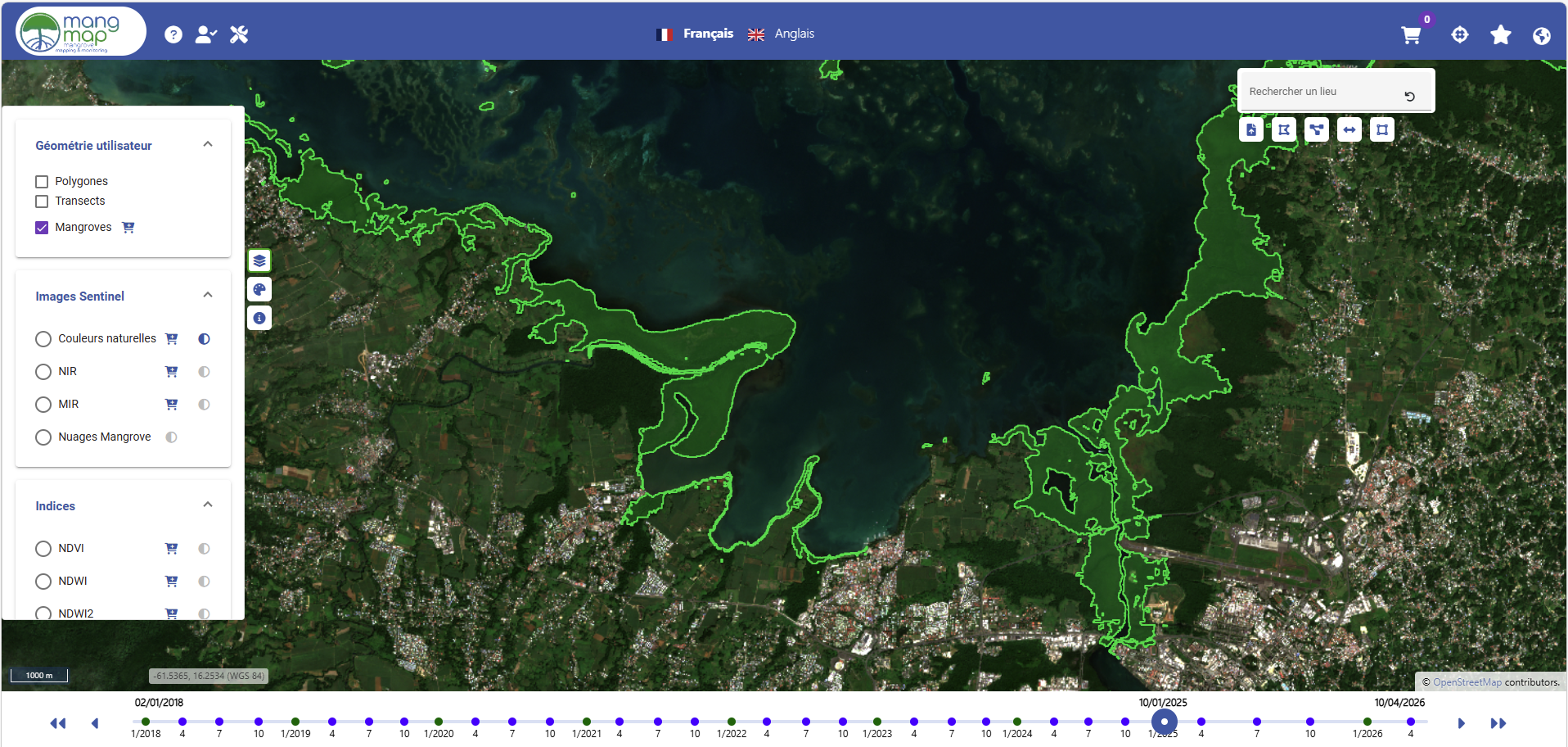
According to the reference map produced by the CARNAMA project for IFRECOR in 2020, the total area of Guadeloupe’s mangroves is estimated at 3,306 hectares, located primarily along the shores of the Grand and Petit Cul-de-Sac Marin bays, as well as on Marie-Galante.
These coastal forests consist of four species of mangroves: the red mangrove (Rhizophora mangle), the black mangrove (Avicennia germinans), the white mangrove (Laguncularia racemosa), and the gray mangrove (Conocarpus erectus). These species occur in succession along a gradient of increasing salinity from the sea toward the land, ranging from red mangroves along the shoreline to white and gray mangroves in the inner mangrove zone.
They play a vital ecological role as nurseries, coastal protection zones, and carbon sinks, but Guadeloupe’s mangroves are beginning to deteriorate as a result of human activities.
Their long-term monitoring, now made possible by the inclusion of Guadeloupe on the MangMap platform, is a key challenge for the sustainable management of these fragile ecosystems.
Sources: