Behind MangMap, there's a team of researchers, engineers, and specialists passionate about mangroves and the tools that help us better understand them. To introduce them to you, we're launching a series of portraits: in each article, a team member takes the floor. More conversations will follow soon.
To start, the floor goes to Jean-François Faure:
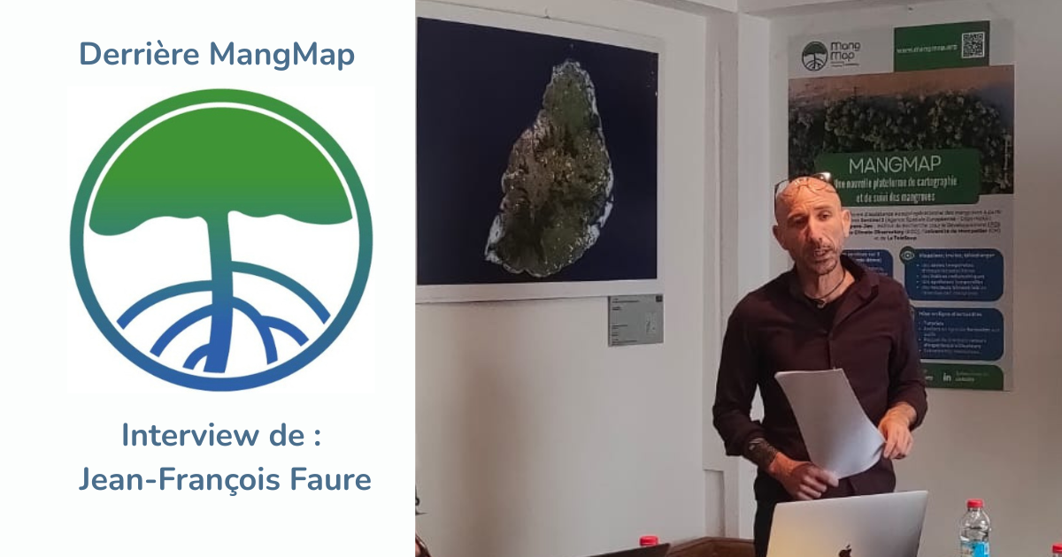
Could you introduce yourself in a few words: your background, your profession, and what you actually do at MangMap?
I'm a research engineer at UMR Espace-dev, within the French National Research Institute for Sustainable Development (IRD), based in Montpellier. I joined IRD in 2004 as a study engineer; before that, I worked in Belém, Brazil, at the Brazilian Ministry of Science and Technology (MCT).
Trained in physical geography and specialized in satellite imagery processing, I devoted myself from 1998 onward to studying mangroves through remote sensing, using Landsat 5 data in the northeastern region of Pará State, where mangrove forests stretch along both sides of the mouth of the Amazon River.
I subsequently took charge of the scientific operation of major systems for receiving, processing, and distributing very high-resolution satellite imagery (VHR): the SEAS system in Cayenne (French Guiana), the Equipex Geosud project in Montpellier, and, since 2020, the national DINAMIS system, which operates within the Data Terra Research Infrastructure (IR Data Terra), providing shared supply and access services for VHR imagery for all institutional, scientific, and non-commercial uses in France.
Alongside this, I built and proposed the MangMap project, labeled by the Space Climate Observatory (SCO) in 2021 and again in 2025, and also labeled by the Theia Cluster of IR Data Terra in 2024.
I'm the project lead and coordinate the activities it deploys for communities interested in monitoring mangroves using satellite time series data.
What drew you to work on mangroves, or more broadly on environmental remote sensing?
The Coastal Ecology Department of the Goeldi Museum (MPEG), which welcomed me when I arrived in Belém in 1998, was already heavily focused on coastal issues, particularly the study of mangroves: hydro-sedimentary dynamics along the coast, botanical and faunal inventories, forest ecology, sedimentology, and social sciences — mangroves in Brazil are inhabited by riverside communities whose livelihoods depend on their resources.
The Goeldi Museum, as an MCT research institution, had a project to build a Spatial Analysis Unit specialized in monitoring the Amazonian environment. Within this framework, I developed various complementary applications of satellite imagery use: land cover mapping, participatory mapping with associations and local community representatives, forest resource monitoring, studies of shifting cultivation (abattis), studies of urban growth along the Amazonian coast, and work with Indigenous communities on representations of their territory...
Later, in Cayenne, I continued along these lines, adapting them to French Guiana's thematic priorities: environmental monitoring of tropical disease vectors (malaria and dengue mosquitoes), the impact of gold panning activities on the forest, monitoring of mangroves across the Guiana Shield, shifting cultivation within the French Guiana National Park, links and proxies between imagery and biodiversity, coastal urbanization...
Mangroves have been a thread running through my career from the very beginning, and it was only natural that I felt the need, alongside my responsibilities as head of the DINAMIS system, to set up a partnership-driven, collaborative project centered on monitoring mangroves through remote sensing.
What can MangMap do today that wasn't possible before?
MangMap provides, on a cartographic dashboard, imagery, products extracted from that imagery, and services for working with these products to generate tailored information to document and understand mangrove dynamics.
The MangMap platform currently covers only 8 study sites, but its Phase 2 project plans to expand existing sites to national-scale mangrove coverage and bring the number of sites to around twenty.
Compared to existing tools, MangMap offers a view of the complete Sentinel-2 time series and complements the products already offered by other platforms (global vector maps) with locally produced information, tailored to one's own areas of interest and needs.
MangMap is currently working to expand its services by setting up an alert system that is in the process of being calibrated and validated. Once this work is complete, users will be able to place a mangrove area under surveillance to be alerted in case of deforestation (clear-cutting) or disturbances affecting mangrove health (pest outbreaks).
Beyond the technical services the MangMap platform offers, the project has two further goals:
- bringing together and animating a network of users to exchange and share experiences in satellite-based mangrove monitoring;
- using MangMap as a vehicle for training partners in the use of remote sensing and satellite imagery applications for environmental monitoring.
What discovery or result has surprised you the most since you started working on this subject?
I've always been struck and impressed by the perfect knowledge of mangroves developed by the populations who live there and rely on their resources.
In Brazil, entire villages are integrated into this rather hostile environment. They harvest wood and food resources (crabs, fish, shellfish, invertebrates), produce basketry, and collect medicinal plants... Extractivism is a way of life, and communities understand the value of engaging in natural resource management plans with the help of local research organizations, so that these ways of life can endure and develop in a reasoned co-viability.
In Madagascar, where population precarity is more acute, conservation and safeguarding plans are implemented in a more sensitive and complex context, but here too communities know how to make use of this hard-to-access environment to draw resources and benefits from it: silkworm farming, honey harvesting in mangroves...
These examples show that these fragile environments, which provide major ecosystem services and have been in decline for several decades, are not condemned to disappear if the right balance between humans and nature can be found.
Who is MangMap for, and who do you imagine using the platform in 10 years?
MangMap is aimed at all scientists: technicians, researchers, engineers, teacher-researchers, and students at all levels who are interested in mangroves.
MangMap is also aimed at all geomatics professionals working for public bodies in countries that host mangroves: ministerial departments, decentralized state services, local authorities, agencies, offices, and other national or local bodies responsible for managing coastal protected areas. In the same vein, MangMap is aimed at NGOs or associative organizations that run management plans in these same areas.
Finally, since MangMap is an open-access platform, any citizen wishing to work with Earth observation data on mangroves is of course free to connect and explore the technical platform.
To use MangMap effectively, prior knowledge of remote sensing is required. This is why MangMap's Phase 2 includes training webinars and train-the-trainer workshops.
If you had to explain the importance of mangroves to someone who had never heard of them, what would you tell them?
Mangroves are forests that grow between land and sea, in the tropics. They protect coastlines from the oceans: they act as a buffer against erosion and against the effects of cyclones and hurricanes. They shelter a very large number of species at their juvenile stage and are therefore vital both for the balance of coastal ecosystems and for the riverside populations who depend on them. On top of that, they store carbon. We need to protect them because they protect us.
Do you have scientific activities or projects outside of MangMap?
My activities outside of MangMap mainly involve leadership responsibilities for satellite data infrastructures.
But I enjoy getting involved, even occasionally, in research projects with a strong social science component.
Satellite imagery, which makes it possible to scrutinize every corner of the planet, should serve those who, in the territories we observe, are seeking to build the conditions for a more sustainable relationship with our environment.