MangMap training in Madagascar: satellite tools for mangroves
On September 16, 2025, the IRD office in Antananarivo hosted its first training session for trainers on the MangMap platform. Aimed at Malagasy institutional actors and researchers, this one-day training session enabled participants to discover and master the mangrove monitoring tools offered by MangMap.
A major environmental issue
Mangroves are an essential natural heritage for tropical coasts: they provide protection against erosion, mitigate the impacts of extreme weather events, and offer exceptional biodiversity and carbon storage. For local populations, they are a vital source of livelihood and economic resources.
Comprehensive practical training
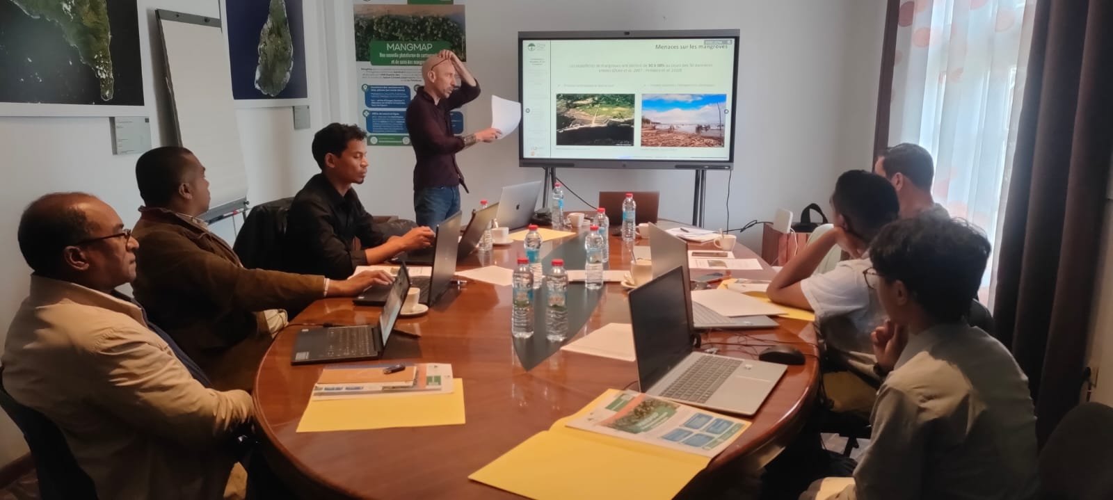
Led by Jean-François Faure, Eric Delaître, and Amanda Esparon (IRD), the training focused on the use of MangMap and its mangrove monitoring applications, applied to the mangroves of Bombetoka Bay. Participants learned how to manipulate and interpret Sentinel 2 satellite data and their derived indices, and how to analyze the evolution of mangroves in space and time using the online services offered by MangMap.
The day combined theoretical presentations and practical sessions, enabling participants to gradually master all the platform's features: creating accounts, manipulating data, creating or importing polygons and transects of interest, statistical calculations on time series, analyzing mangrove gains and losses, and exporting maps and results.
A Training Kit to multiply the impact
Each participant received a complete Training Kit containing the teaching materials used in the training, remote sensing resources, and documents useful for easily replicating this training with colleagues, partners, collaborators, or students. This MangMap training was supported by the European Working Group Africa (ESA) project, which trained more than 30 trainers in Copernicus tools and services in fifteen African countries between 2023 and 2024.
This initiative illustrates IRD's commitment to the transfer of space technologies for environmental monitoring and its desire to contribute to the capacity and skills building of Madagascan partners wishing to learn about satellite tools for monitoring and understanding coastal ecosystems.